Barn Owl MapsUpdated 6 months ago
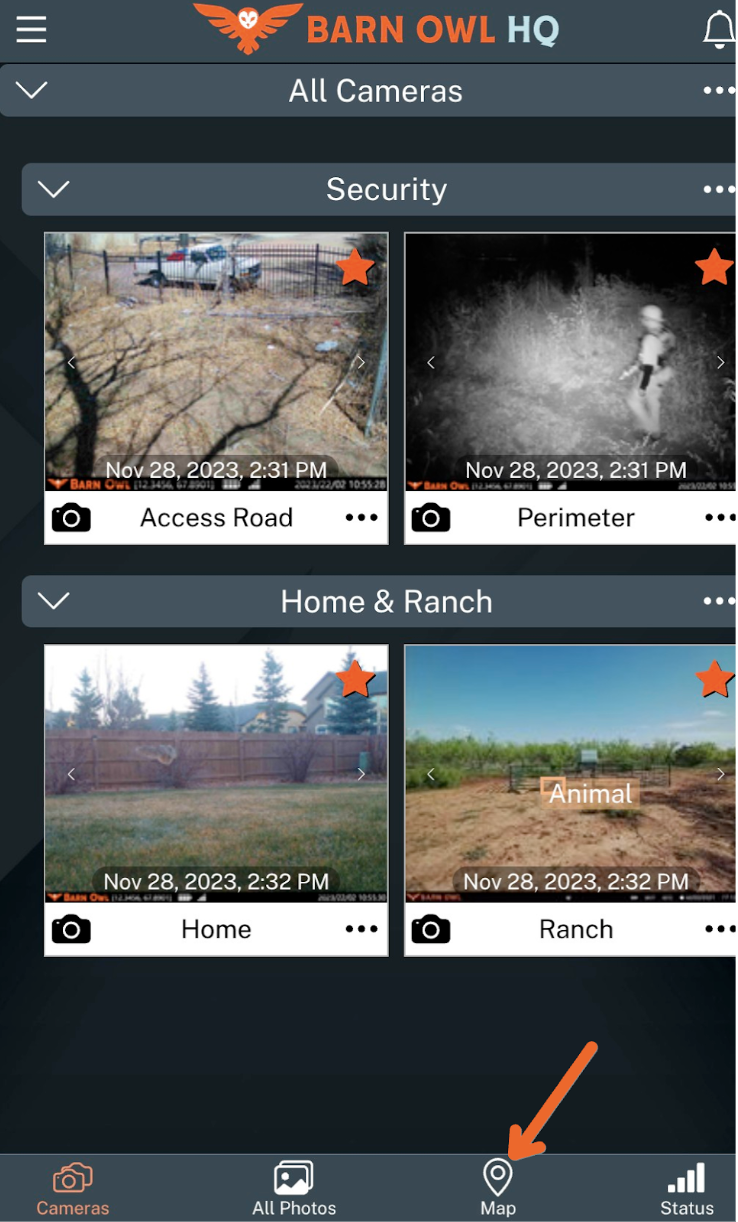
Barn Owl Maps is designed to give you a bird's-eye view of your property and assets. To access Maps, click on the Map icon below.
If your camera includes GPS, you’ll see your cameras appear on your personal map with exact latitude and longitude coordinates. If your camera doesn’t include GPS, you can click and drag your cameras to the exact locations on your property.
When you click on your camera, you’ll see its:
Camera Name
Camera Model
Latitude
Longitude
Heading
Max Distance
Field of View (Horizontal)
To manually adjust where your camera is pointing, click and drag the picture icon below.

When it comes to camera surveillance and monitoring your assets, the Max Distance indicator will let you know the ideal camera placement on your property to Identify, Recognize, and Observe trespassers or intruders. To identify intruders by face or license plate, it is best to have them within range of the first orange line, shown on the field of view cone above.
The 3 distances on the indicator show the observable distance, in feet, of your camera at SD, HD, or HD+ Image Quality. Note that the standard-angle RangeCam 4G above has a much longer max distance than the wide-angle RangeCam Photo, shown below it.
(720) 594-5533